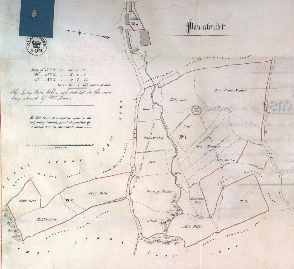
Maps and Plans of Great Harwood
1582
Plan showing boundary in dispute between Rishton and Great Harwood
1603
Plan of Great Harwood made because of disputes over rights of passage on King’s Highway
1762
Copy of a plan made to show the enclosure of the commons and waste of Great Harwood
1763
Copy of a plan now lost showing all the fields in Great Harwood
1796
Plan of Great Harwood showing roads, estimated to be about 1796
1814
Plan of lands in the centre of Great Harwood forming the Isherwood Estate
1853
Plan of Birches Farm, later to become the Plough Inn
